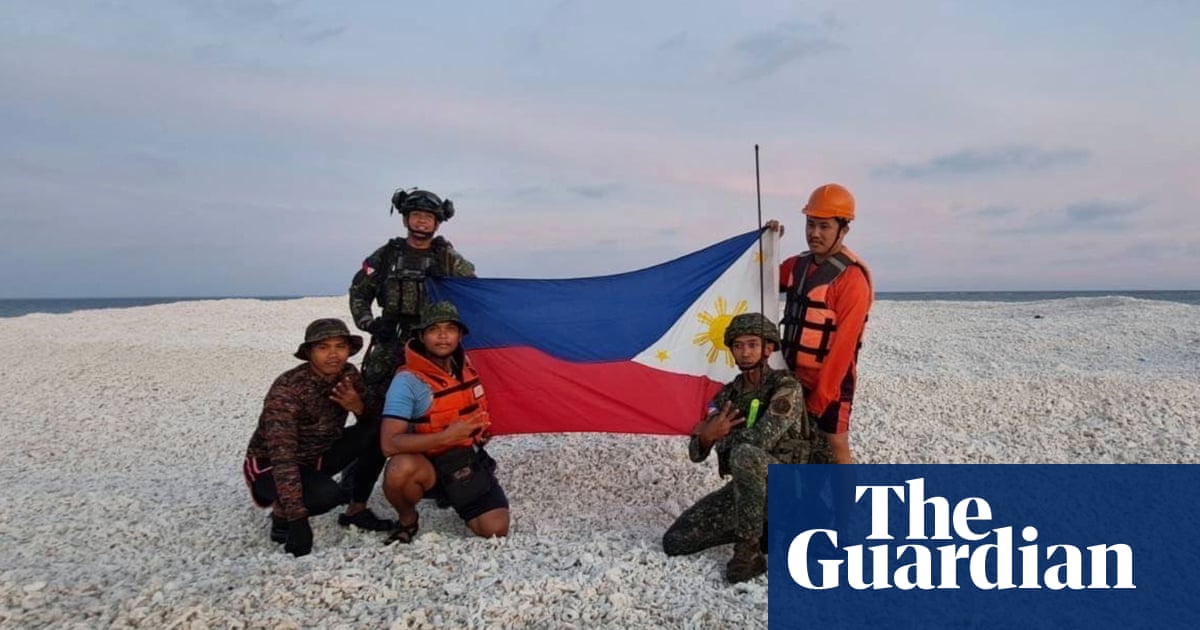
Philippines, China Clash: Flags on Disputed Sandbank Reignites South China Sea Tensions
The South China Sea remains a volatile region, and a recent incident involving the Philippines and China has once again highlighted the simmering tensions over disputed territories. A stand-off occurred on Ayungin Shoal (Second Thomas Shoal), a submerged sandbank claimed by both nations, after Chinese coast guard ships blocked Philippine vessels attempting to resupply the grounded BRP Sierra Madre, a Philippine Navy ship deliberately run aground there decades ago. This event, captured on video and widely circulated, has fueled accusations of harassment and aggressive actions by China.
A History of Contention:
The South China Sea dispute is a complex issue with a long history. Several nations, including China, the Philippines, Vietnam, Malaysia, Brunei, and Taiwan, have overlapping claims to various islands, reefs, and shoals within the region. These claims are based on historical usage, geographic proximity, and interpretations of international law, leading to frequent disagreements and confrontations. Ayungin Shoal, located within the Philippines' Exclusive Economic Zone (EEZ), is a particularly sensitive point of contention.
The Ayungin Shoal Incident:
The recent incident saw Chinese coast guard vessels deploying water cannons against Philippine supply boats attempting to reach the BRP Sierra Madre. The Philippine government has strongly condemned these actions, describing them as "illegal" and "dangerous." The incident was widely condemned internationally, with several countries expressing concern over China's behavior and its impact on regional stability.
- The Philippines' Perspective: The Philippines asserts its sovereign rights over Ayungin Shoal and the surrounding waters, citing the UN Convention on the Law of the Sea (UNCLOS). They view China's actions as a violation of international law and a threat to their national security.
- China's Perspective: China maintains its claim over the entire South China Sea, including Ayungin Shoal, based on its historical "nine-dash line" claim. While China acknowledges the need for peaceful resolution, its actions on the ground often contradict this stance.
International Implications and Responses:
The incident has raised serious concerns about the potential for escalation and the need for de-escalation efforts. Several countries have called for restraint and adherence to international law. The United States, a key ally of the Philippines, has expressed its strong support for the Philippines and its sovereign rights.
- The Role of UNCLOS: The UNCLOS, a widely ratified treaty that governs maritime boundaries and resource rights, plays a crucial role in resolving these disputes. However, China’s disregard for certain aspects of UNCLOS remains a major point of contention.
- Regional Cooperation: Many believe that regional cooperation and dialogue are essential to manage the tensions in the South China Sea. However, the lack of trust and the assertive actions of some nations continue to hinder progress.
Looking Ahead:
The future of the South China Sea remains uncertain. While diplomatic efforts are ongoing, the recent incident at Ayungin Shoal highlights the fragility of peace and the need for a clear, legally binding framework for managing disputes. The international community must continue to pressure all parties involved to de-escalate the situation and resolve their differences through peaceful means, respecting international law and upholding the principles of freedom of navigation and overflight. Failure to do so risks further escalating tensions and potentially destabilizing the entire region.
Keywords: Philippines, China, South China Sea, Ayungin Shoal, Second Thomas Shoal, BRP Sierra Madre, maritime dispute, UNCLOS, nine-dash line, international law, regional security, freedom of navigation.
Call to Action: Stay informed about developments in the South China Sea and encourage peaceful resolution of these complex territorial disputes. Learn more about UNCLOS and its importance in managing maritime boundaries.
